
I couldn't have scripted it any better. I'm rolling down Santa Monica Boulevard, the final bit of the final leg of the journey that started out eight days ago on a sweltering Friday in Chicago, and Peter Gabriel's Solsbury Hill comes on the radio.
As anyone who knows me will attest, it's one of my favourite songs by one of my favourite musicians. It's a song about freedom, and in many respects, more about Route 66 than even Bobby Troup's tribute.
 |
| © Simon Poulter 2013 |
 |
| © Simon Poulter 2013 |
To maintain some semblance of authenticity, I rejoined 66 on the Oatman Road, a stunning but nerve-wracking 42-mile "scenic" route that takes you into the Arizona desert, up over a high peak and down the other side and through Oatman, a once deserted mining town that 66 ran through.
Today it is home to a hippyish collection of tourist shops - the arts and crafts merchants I would normally go out of my way to avoid - and, for no apparent reason at all, staged cowboy gunfights and a strolling mariachi band. To add to the surrealism is a small herd (if that's the correct collective noun) of burros wandering aimlessly about the town.
The outside temperature gets up to 116 degrees. In the comfort of a modern, well air conditioned car, it is bearable. But it makes you wonder how people drove this section of 66 before cars were so luxuriated.
As a test, I switch off the AC (a sensible idea, in any case, to stop the drain on fuel) and wind down the windows to see if a little of Nature's own air conditioning will have the same effect. The Eagles may have felt a cool wind in their hair on the desert highway, but here it is like having a large hairdryer set to Kill in your face. And a very old, overheated hairdryer at that. Think Sir Alex Ferguson at full blast.
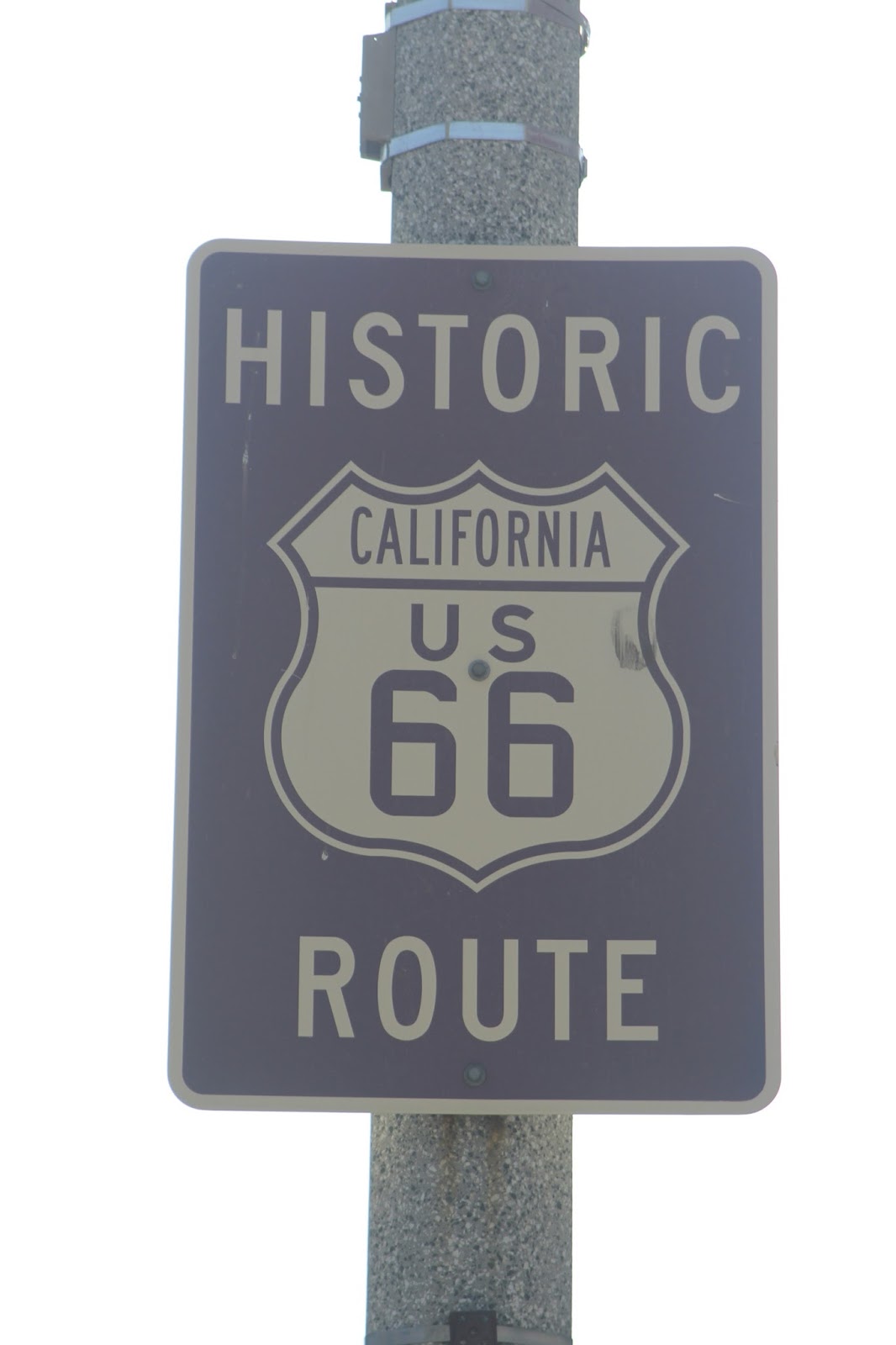
After allowing myself a small measure of much needed 21st Century modernity - and properly cool air - by rejoining I-40 near Yucca, I pick up Route 66 again just over the California stateline at Needles, and remain on it for what seems like the next several hours.
The Mohave Desert is the perfect antidote to Los Angeles when its sprawl and urban chaos becomes too much. There is something mystic about the place, which also explains why it has drawn weirdos, hippies, society dropouts, gun nuts and the Manson Family to it. But rarely do they congregate in the same place.
Ever since the western desert started to unfold on Route 66 in Arizona, the result of violent eruptions in the Earth's crust have been evident all around, the topography so dramatically different to the gentle, rolling hills of the Midwest earlier on the route.
Near Amboy - which, in the 2000 census, recorded a population of just four - is what looks like, from the road, a large pile of black soot. On closer inspection it is the Amboy Crater, an extinct volcano which also informs you you're in one of the most notorious areas of seismic activity on the planet. Indeed the entire desert plain along this part of Route 66 is an enormous lava field.
 |
| © Simon Poulter 2013 |
Eventually I arrive in Ludlow. I have a particular fascination with this town (Population: 10) as I began my professional career in Ludlow, England. That Ludlow, though, is located in beautiful Shropshire countryside, with a castle, a reputation for being a foodie's paradise (it has the highest number of Michelin-starred restaurants per head than anywhere else in the world) and it is where I lost my curry virginity on my first Saturday night in town, at the Shapla Tandoori.
 |
| © Simon Poulter 2013 |
Some years ago it was also the epicentre of a large earthquake that shook the entire southland. I was 300 miles away in Mammoth Lakes when it happened, and felt it there.
In Las Vegas, 150 miles away, all hotels on The Strip were evacuated as precaution. When the all-clear was sounded, many of the hotels' guests returned, not to their rooms, but the hotel casinos at 5am.
Seeing TV news footage of people in their bathrobes desperately playing one more hand of poker, or another spin of the slotswas an amusing snapshot of what Vegas was, at least then, all about.
Amazingly, I am still only at the halfway point of this final leg. There are still more than 200 miles between me and sea air. Not that the next two waypoints warrant much lingering: Barstow is a relatively large (for the region) town and key transportation hub, having been founded by a railroad magnate. More recently it has become the meeting point of the I-40 and I-15 freeways, and another huge US Marine Corps depot. That, and a much needed fill-up of fuel, is all there is to say about this dry, ugly town.
Victorville, further down Route 66, is no better. Another large transportation hub, it is a city beset by crime, unemployment and homelessness. There isn't much of a plus-side to it, except that, with the sun starting to set in the West, and the final 100 miles still to cover through the enormous Los Angeles hinterland at rush-hour, I reluctantly join the freeway to make some progress to the end of the line.
LA, as you probably already know, is a region in its own right. Famously and perfectly described by Alexander Woollcott as "Seven suburbs in search of a city", it is an interwoven patchwork of urban sprawl. As I enter what is technically 'Greater Los Angeles' at San Bernardino, I know there is a tough grind ahead, negotiating LA's aggressively driven freeways at heading-home time on a Friday night.
Most of the traffic is heading out of the area - off to weekend destinations - but not having experienced a multi-lane city freeway system since Oklahoma City (and that was a relatively small one), it's a shock. Bacharach really hit the money when he wrote "LA is a great big freeway" on Do You Know The Way To San Jose? (and, yes, I do: take the 101 or I-5 or, for the ambitious, Highway 1, north).
 |
| © Simon Poulter 2013 |
From Pasadena on into LA, Route 66 is, like many other cities on the road, occasionally signposted. With a little homework, I know that I need to get myself onto Sunset Boulevard, then Santa Monica Boulevard.
Which means driving right the way through LA. This is not a city you can pass from one side to the other in 30 minutes. Driving through LA means start-stop-start braking as traffic lights perpetually disrupt your momentum.
Following 66 through LA does, though, bring you through some of the neighbourhoods that make La-La Land the draw it is.
Route 66 as Sunset Boulevard commences in Echo Park, the district being raved about as Los Angeles' most up-and-coming. It is a bustling area, but crawling with 'hipsters'. Hordes of them, with beards longer than Abraham Lincoln's, smugly organic, free-thinking lifestyles and skinny jeans, cramming sidewalks in search of a macrobiotic cafe in which to drone on about Mumford & Sons. Counter culture is, thankfully, still alive and kicking in California.
Route 66 leaves Sunset Boulevard for Santa Monica Boulevard, cutting through West Hollywood - which is essentially one long restaurant - before reaching Beverly Hills, at which you can't help allowing yourself an Axel Foley chuckle as you roll past the famous police headquarters.
As you might be able to tell, there is a note of tedium creeping in here. Over the last 21 years I've been in and around LA, and have driven down these very streets, so many times I've lost count. However, they have always been part of the LA experience. I've never experienced them as the end of a journey.
And so, as I enter the seaside familiarity of Santa Monica, Solsbury Hill on the radio, I know that at the very end of Santa Monica Boulevard will be the pier and the end. I should, as I arrive, be cracking a bottle of champagne. Instead, I just want to take my pictures and get to the hotel for the night.
This may sound downbeat and anti-climactic, but it isn't. The drive down Route 66 was to see an America I've not seen before, to glimpse parts of its past I know only from American culture. In that, it has delivered in spades: Chicago's friendly ambience and blues music; the summery fields of Illinois, the Midwestern heartland charm of St. Louis; the wide open agricultural enormity of the prairies of Missouri, Kansas, Oklahoma and Texas; the appearance of the West in New Mexico and the desert heat of Arizona and the Mojave Desert.
 |
| © Simon Poulter 2013 |
Driving from Chicago to LA in the insane mid-August heat that cooks up the American heartland might have been a long, sticky ride. But it hasn't. It has been a fascinating journey through varying physical and economic topographies, from city sophistication through rural simplicity to city sophistication again.
Thus, to close, let me reveal something unimportant to you but significant for me: for the most part, dear reader, I have been wearing shorts. Chicago was blistering when I left it, and the temperature has remained between the mid-70s to oppressively north of 100 for much of the 2,524.1 miles I've driven. As I reach the sea, however, it is a distinctly frigid 67F. I am going to have to wear jeans.
Welcome to LA.
 |
| © Simon Poulter 2013 |
What a fun read. You've taken the high road - no pun intended - in describing that leg of America, where it snuffs out in my old digs, LA.
ReplyDeleteI never heard Woolcott's "seven suburbs in search of a city" but it sure does nail it on the proverbial head now, doesn't it.
Are you driving back to the east coast? If you are, be sure to come to Philly. I'd love to read a take on a city where your British cousins camped out and gave a unanimous finger to George III.
Cheers!
Thanks Mary - it's been a great trip. Gave me the opportunity to see parts of America I've only ever flown over before!
ReplyDeleteCalifornia is the end of the line for now, heading back to Europe later this week, but I should indeed visit Philly sometime!
Ah...and now you know why we fly over it so much...you've got to see Philly if you haven't before. And come up to Bucks County while you're here, too.
ReplyDeleteHave a good trip home!